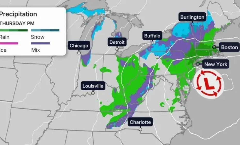
A potential nor’easter impacting the Northeast and New England is being forecasted for later this week, with millions of homeowners bracing for possibly the first snow of the season.
Meteorologists are predicting that as early as Wednesday evening, a deep plunge in temperatures combined with a low pressure system moving across the Midwest will make for wet conditions for Louisville, KY, all the way up to Maine.
While snow in these areas this time of year is not unheard of, some locales are prepping for a volatile winter ahead, given the Super El Niño conditions.
So is this just a taste of what’s to come?
A nor’easter in November
Cold air sweeps across the East late in the week, setting the stage for winter weather, according to The Weather Channel.
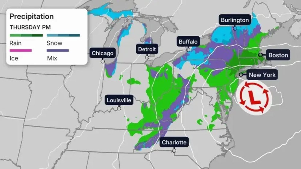
By Thursday night, a secondary low-pressure system is expected to form off the Eastern Seaboard. As cold air filters in, rain could begin mixing with or fully changing over to wet snow across interior parts of the Northeast.
Friday into the weekend presents the greatest potential for snow, depending on the storm’s exact track, which meteorologists are still unclear on.
If the system tracks close to the coast, it could wrap heavy inland snowfall into the Northeast alongside coastal rain, strong winds, and flooding.
A track farther out to sea would result in much lighter snow accumulations across inland areas.
Homeowners in places like Buffalo, NY, and Burlington, VT, are among those who should prepare for the snow shovels and salt for a snowy weekend.
However, if the temperatures dip low enough, it wouldn’t be unthinkable to see snow in places like Washington, DC, Philadelphia, and New York City as well.
Prepping for the winter
Speaking of New York City, Mayor Zohran Mamdani announced ahead of the nor’easter a citywide mobilization to prepare Manhattan for winter weather. This includes a $25 million investment in an expanded Code Blue system and a supercharged snow- and ice-clearing operation.
“We have spent the past year preparing for any challenge winter throws our way. We have trained our workers, readied our equipment and strengthened our protocols because keeping New Yorkers safe can’t begin when the first storm hits,” Mamdani said in a press release.
“This winter, we’re doing things differently—we’re expanding Code Blue to reach more New Yorkers in need, equipping New York’s Strongest to clear snow and ice faster and leaving no stone unturned when it comes to protecting our neighbors from the cold. No New Yorker should face the dangers of winter alone, and no part of our city should be left behind.”
These initiatives come at a time where New York and much of the surrounding states are bracing themselves for the final months of the Super El Nino, which, according to the latest forecasts from the World Meteorological Organization, is projected to be the strongest on record and likely to persist through February 2027.
According to the NOAA, an El Niño system tends to be strongest during the winter months. But because of the strength of the system being tracked this year, there are plenty of variables at play.
“Every El Niño is not the same; each one is unique with its own imprint on our weather,” says Ken Graham, director of NOAA’s National Weather Service (NWS). “Advanced monitoring and an improved understanding of El Niño patterns allow the NWS to better predict and better prepare the public and our core partners for what is to come.”
With that in mind, the Farmers’ Almanac 2026–’27 winter outlook outlines a season defined by sharp contrasts and volatile conditions across the United States, driven largely by an active El Niño pattern.
In the Northeast, it predicts a season dominated by wet conditions, both rainy and snowy. In fact, much of the country will need to contend with wetter than usual conditions, but whether snow develops will depend largely on the temperatures.